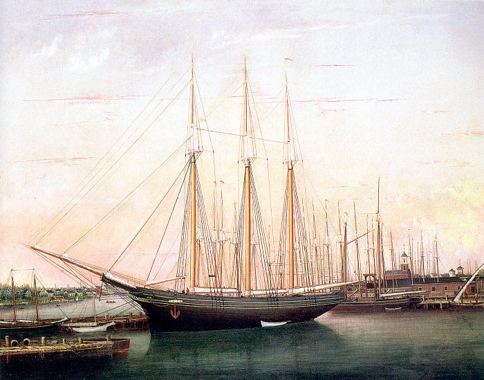
Ship Charles Carroll
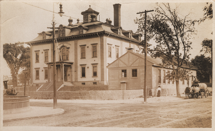
Dorchester Illustration 2664
In the 1830s a syndicate was formed with facilities at Commercial Point to make a profit from whale and cod fishing.
The following paragraph is from “Captain John Codman, William D. Codman, John & Richard Codman” in Other Merchants and Sea Captains of Old Boston (Boston, State Street Trust Company, 1919.
“Their goal was to whale in the Pacific, Indian, and North Atlantic oceans. The ships bought by the company were the “Charles Carroll,” of Nantucket; “Courier,” “Herald,” and bark “Lewis,” plus they equipped twenty schooners, of which two—the “Belle” and “the Preston”—were built at the Point. They purchased not only the wharf, but quite a tract of land in its immediate vicinity, where they put flakes for the drying of their codfish. They also built some cooper-shops and a store for the supply of sailors’ outfits and ship chandlery. The store was built from the material that came from the granary building which formerly occupied the site of the present Park Street Church in the city proper.”
William C. Codman is cited in William Dana Orcutt. Good Old Dorchester. (Cambridge, 1893), 178-179″
“I well remember the arrival of the ‘Charles Carroll.’ The wharf at the Point was lined with carriages coming from great distances, containing relatives or friends of the Jack Tars [who had been away for 4 years]. When every sail had been furled, they were allowed to go ashore. Anxious parents, brothers and sisters awaited them. The Jacks climbed over the side to rush to their relatives’ embraces…”