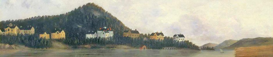
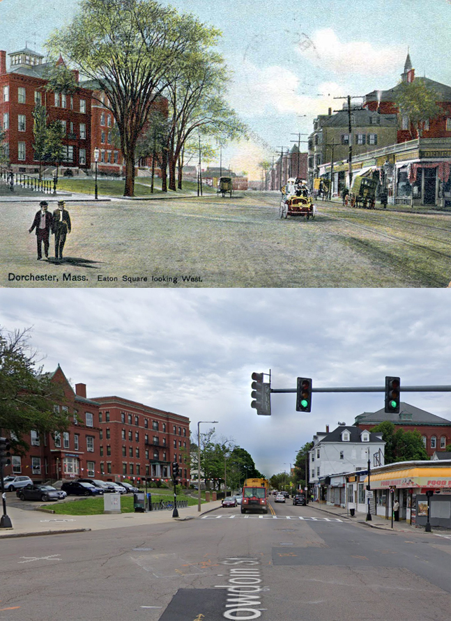
Dorchester Illustration no. 2447 Eaton Square Looking West
The postcard from 1910 shows Bowdoin Street from Eaton Square looking west. Eaton Square is the intersection of Bowdoin Street and Adams Street at the foot of Meetinghouse Hill. St. Peter’s Church, which is not shown, is located just to the left. The comparison to a Google street view image shows the appearance of this location as mostly unchanged.
The 3-story brick building to the left with the cupola structure on top is the church rectory built in 1886. The cupola is no longer there. The next brick building is the church convent, built 1905-1906, at the corner of Bowdoin Street and Mt. Ida Road as a residence for the teachers at the church school across the street.
On the right the store fronts remain along with the mixed use commercial/residential wooden building. The brick building on the right is St. Peter’s School erected in 1896 and finished by 1898. The school seems to have lost its pointed structure atop the roof, although the traffic light in the Google view hides that portion of the roof.
Eaton Square is named for the Eaton Tavern that once stood at the small park at the foot of Meetinghouse Hill. From the late 18th century to the Civil War, Percival Eaton and, later his son, Ebenezer Eaton, kept a tavern directly across from what is now St. Peter’s Church. When the colonials prepared for the fortification of Dorchester Heights, the teamsters gathered at Eaton’s Tavern. They drove oxcarts loaded with birch saplings for the defenses, and on the night of March 4, 1776, they proceeded to Columbia Street (Road), then north to Boston Street toward the Heights, to join the Continental troops and militia.