
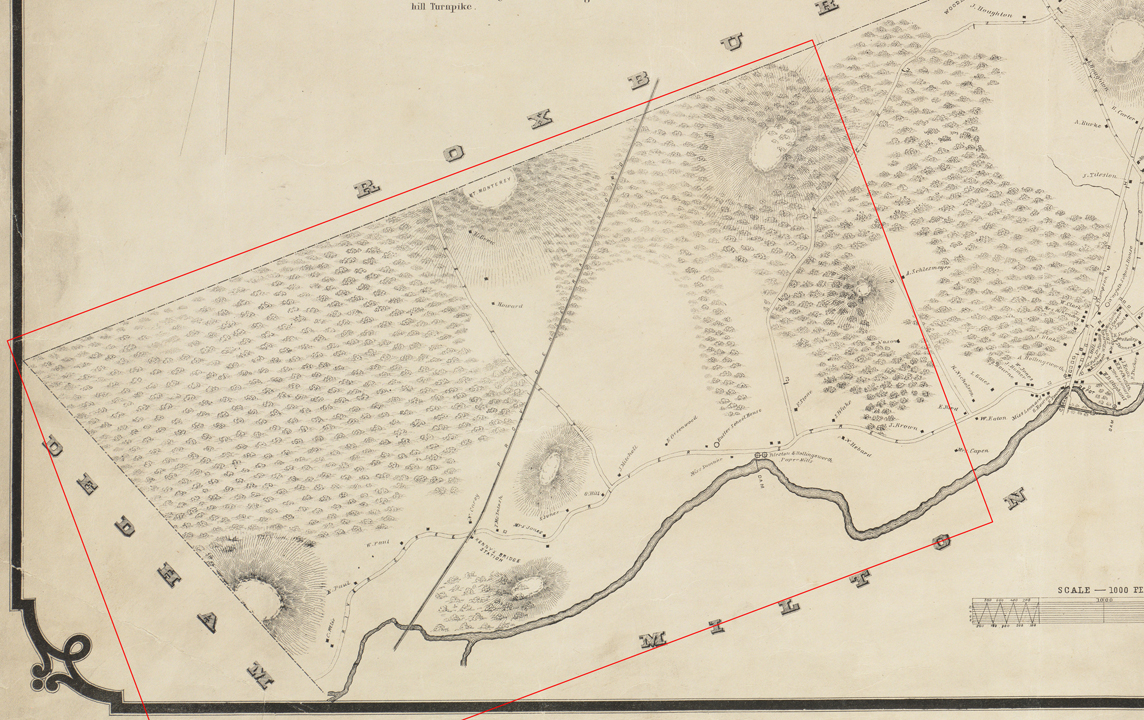
Dorchester Illustration no. 2476 Territory given up for the creation of Hyde Park
On April 22, 1868, the new Town of Hyde Park was incorporated out of land coming from Dorchester, Milton and Dedham. The town was annexed to the City of Boston in 1912.
The red box in the illustration shows the territory given to Hyde Park. The map is from 1850. You can see Mattapan Square at the right.
By 1800, Dorchester thought its territory was settled. Towns to the south had split off over 170 years to create Milton, Stoughton, part of Walpole, part of Wrentham, Stoughtonham, Foxborough, Sharon, Canton, Avon and part of Bridgewater. Then in 1804 a bitter battle resulted in the loss of South Boston to the City of Boston. In 1854 Dorchester lost the Washington Village (Andrew Square) area to Boston as well. In 1868 the relatively undeveloped western end of Dorchester was given up for the creation of Hyde Park. The remainder is what we know today, including many villages from Mattapan Square to Neponset to Upham’s Corner to Columbia Point.